

Anyone who has been to Taipei knows that it is surrounded by mountains. I would bet that it is true on all sides, but I am only sure about the north, just before getting to the sea of Japan. So it goes something like this: a colleague asked me where I was going for the weekend and I muttered out something abotu Yangming Mountain and recommendations start coming and I took note. In Chinese, in my bad chinese, I believe one of the route that interest me is called the water pipe trail. It is not visible on the satellite maps, as it is a walking path up the mountain and ends up at the Chinese Cultural University, that large complex of building on the top of the mountain. Water pipe as it runs along a large pipe bringing water down the mountain. As I have now done the trip, I can say that it is a black water pipe that was constructed by the Japanese about 100 years ago.

This trip took me two tries. First was on a saturday and it was cut short by rain. Figured out rain, jogging shoes and mountains don’t get along too well, and so I postponed it. Sunday was different. Woke up to a bright cheery day, even though the weather forecast was not that optimistic. And so, I go again…


The easy rule for this adventure was to take public transport all the time and having a rough idea where I was going, minimum use of Google Maps and GPS was allowed. I knew had to get to the end of Zhongshan Rd (that would be section 7). On Saturday, I got off Beitou MRT station and walked 3 hours before I got there, thanks to 4 MRT station overshoot, essentially bad planning. But this is part of the thrill. This Saturday reconnaisance trip indicated that it would be possible to take a bus from Taipei Train station directly to the foot of the mountain at Section 7. Bus 220 does that.
Trial Starting point at Tianmu town
And on Sunday, from Zhongshan Rd Section 1 across from Taipei Train Station I stood looking for bus 220. Strangely, after 30 minutes I didn’t see that bus passing at all, and not wanting to take my chances and wait another half an hour, I walked a little bit to the MRT station at the main train station and proceeded to go to Shipai MRT. Taking the bus to the starting point is not too difficult. Look for buses that goes to Tianmu.
It’s easy to get there once I’ve been there once before. But if you look at the satellite map of the area around Tianmu, look for the end of Zhongshan Rd Section 7 and at the roundabout, walk uphill with the police station on your right. After a few streets, at the end, there will be a trailhead on the right with some signboards, essentially steps leading up to nowhere. And this is essentially what this trail is all about. The first section is a series of steps up the mountain, I didn’t count it, but it must be at least half an hour or more of climbing steps after steps, with not too much flat areas to rest. It ends when it meets a road filled with restaurants offering nice views and meals plus drinks. Turning left, I continue the path around the mountain, this time flat muddy tracks with sufficient gravel to give a nice walk in the shade. It is easy to see that this path stays level and goes all the way, almost to the other side of the mountain, before you get to another series of steps. This section leads all the way up to a road, when it ends. Following the road to the right leads you all the way to the Cultural University.
Just for the fun of it, I came back down to rejoin the initial section of the steps and down to Tianmu town by walking through the University and going down via the winding road passing the restaurants, completing the mountain loop. Not too easy to picture nor show on the map, but it was a good 3-4 hour round trip including a 15 minute pause on the top of the mountain having a latte at a neighbourhood 7-11 convenience store.
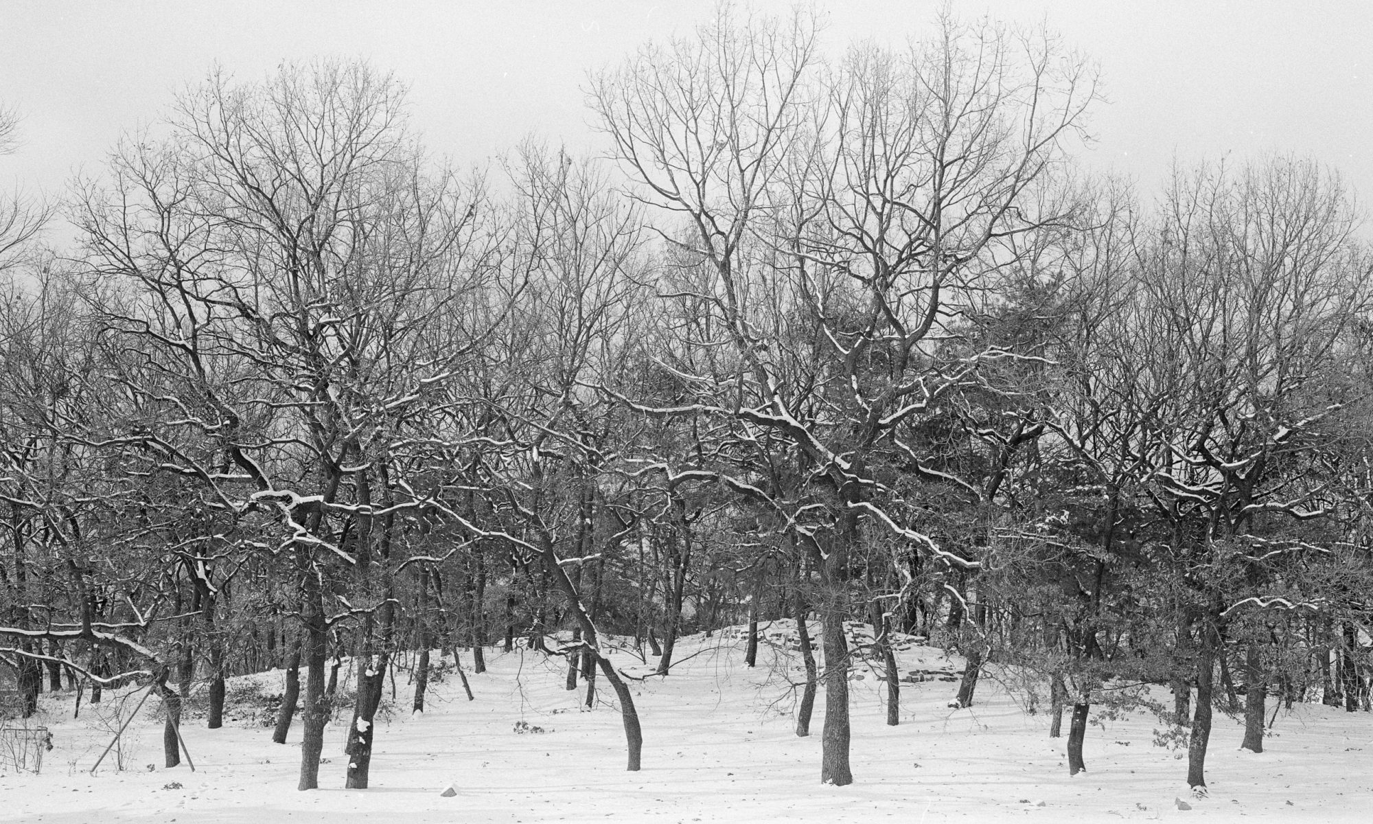
Coming down is a lot easier, even though, as usual, bad on the knees. There was quite a high traffic of locals walking up the steps when I was coming down. The usual families and old people, so this trail, even though quite a climb, is nothing difficult nor dangerous. Most of the photo opportunities here are of plants, and very little vista. Maybe because it is mostly covered by the trees, so there are not too many places where you could catch a nice view. The best views are around the university at the top, so save your pictures till then.
Nice walk for the weekend. And a good substitute for a jog. Here’s a tip, around the roundabout where the bus to tianmu stops along Zhongshan Rd Section 7, there is a nice oyster meesuah (starchy vermicilli dish) stall, where you can load up the cholesterol before burning the carbs and keeping the cholesterol when going up the mountain.
I definitely need to check out more routes up this mountain. Not the only one I believe.
Now for the new format. Will plug all the pictures here after the words… Doubt it will matter anyway….


*end*

This is close to my parents’ apartment. I walked to Section 7 often when I visit them. Next time I will go further up to the steps.
LikeLike
Yes, I don’t remember what it was like up there. I recall the trip up was more interesting! But definitely bring your camera with you.
LikeLike