

Ungilsan in Autumn: Achieved by focusing much closer than the subject itself and let the bokeh work its magic.


Although I was using a wide angle lens, the slope on the left and right is not an optical illusion.
This trip started as a routine mountain hike a little outside of Seoul at a place called Ungilsan (운길산) mainly because it is possible to get there by taking the suburban line 1 metro to a station with the same name. At least on the map it looks like there is a mountain to climb over there. And it looked like one of those popular places to go on weekends as there are quite a number of overdressed korean hikers (nothing new here). The metro line is supposedly quite new, going all the way to Yangpyeong town and going upstream along the Han River.
Ungilsan metro stop is new enough to be built less than a year or two ago. Just outside the station is a large map of the hiking paths that lead off the station. I counted at least 2 or 3 high peaks and many smaller routes. There’s no real need to memorize it for me since all routes would be new to me. Best would be to follow the crowd. The path starts by going back where the train came from, past many village restaurants on your left. This is where it is possible to load up on lunch by buying a kimbap or two (Korean maki rolls). Then the road goes under the train track and through a small village. Very quickly it starts to go uphill through some woods.

At the village at the bottom of the montain, some of the lower peaks around Ungilsan

Some parts of the hike is quite like an easy walk.

Hikers in Korea have this habit of stacking up rocks while making wishes. This is one of the largest I’ve seen to date.

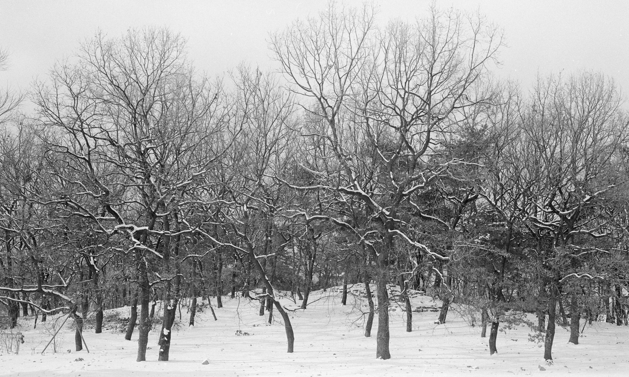
I’m still wondering what caused this tree to grow in this manner.
The route is simple enough, and you do get tired from the slight incline through the woods. I’ve noticed that other than using the path in the woods, it is also possible to walk on a road that is possibly steeper and leads to Sujongsa temple. The hike is not really that difficult and not really that far. I’m guessing that the top of Ungilsan is not more than 3km from the metro stop. Very soon the path leads to the spine of the mountain where the path becomes a little easier to climb. I wouldn’t call it a climb, more like an easy hike.

Start of autumn.

This is one of the first red leaves I encountered on this hike, not particularly pretty, but still red.

In some sections the leaves are starting to dry up, getting ready for winter.

This is close to the rest area, showing the close proximity of the leaves, making it possible to take pictures of it without any specialized gears.
A few hours later hikers will reach a rest area where some adventurous sellers will sell you lunch or refreshments. When that happens you know it is an easy climb for some. From here the summit is less than 200m away. However on this day it is understandably crowded. The peak itself is crowded, and at the time I was up there, just after noon, the sunlight was so harsh, it was only possible to look at the view but not to photograph it. I guess I could but I would never be happy with the picture. Instead I took a geotagged photo with my iPhone for the token momento.

On the way downhill. Again, the slopes are not an optical exaggeration.
The hike is possibly even forgettable for me, but since we are in early autumn here in Seoul, trees are starting to shed leaves, and there are a couple of trees with very saturated red leaves. I’d want to call them Maple leaves but I’m not scientifically sure, so let’s just call it red leaves for now. When I see one I’d take a break and attach my macro lens and get to work documenting it. The lighting is not that easy to shoot with a Nikon D300, sometimes I wished I packed my heavier D3s. But with a little bit of luck and patience I’m sure I will be able to get something out of it. I try to look for a break where sunlight would be able to get through the canopy and illuminate the leaves. Sometimes I’m lucky, othertimes I get a nice arrangement of leaves but no good light. At times like this I normally try to shoot manual mode so that changes in lighting intensity do not mess up the pictures, and it helps also to dial in a fixed white balance since the WB between direct sunlight and shooting in the shadows can mean that the same scene be rendered in uncontrollable hues.

One of the buildings making up Sujongsa.

View from Sujongsa.

Main Temple


Buy a tile, write something and tile it up. Most of the tiles are in Korean, I didn’t see any alphabets on it.
As usual, my path downhill is usually a different one compared to the uphill trek. This time we decided to go down the path that leads to the temple called Sujongsa (수종사). Again, an easy walk down the hill to the temple, and right after the temple it is possible to take the road down to the metro station. At least when walking downhill, this road does look quite steep compared to the path through the woods, but it is not possible to figure out if this is a perception thing or whether it is really steeper. All I know that is that it is quite hard on the knees to walk down a steep road for a few kilometers.

Always need my picture of farm machinery.
Reading about this post after the trip, it sounded like one of the most unexciting posts I’ve done in a while. I’d say that this hike was not too bad, lingering around the “standard” level and not much more. If not for the autumn leaves I’d say that this trip would be quite boring. Maybe it would be better after a heavy snowfall in winter? Who knows… Maybe its time to try it out in the dead of winter.


*end*
